C/D ↔ 160m ↑ 80m ⏱ 30min vf / 55min total
View details in Romanian.
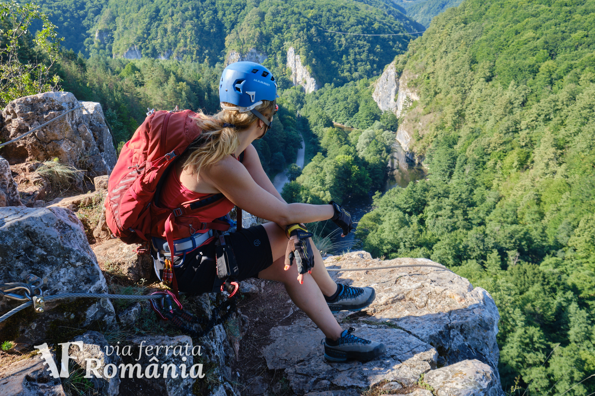
The via ferrata route called “Podu Indian” (meaning Indian Bridge) was opened on September 4th 2020, near Suncuius, Crisul Repede defile/gorge, in Padurea Craiului Mountains, a subunit of the Apuseni Mountains. The route was self funded and built by CASSIO Montana club.
Summary:
- Length 160m
- Vertical climb 80m
- Difficulty C/D
- GPS access / Parking 46°56’24.2″N 22°32’51.9″E or 46.940056,22.547750 (geo)
- GPS Start Via Ferrata 46°56’16.1″N 22°32’49.4″E or 46.93781,22.54706 (geo)
- Access hiking duration: 10min
- Via ferrata duration: 30min
- Return hiking duration: 15min
- Total time: 55min
- Best time: May – October, except for when it’s rainy and the rocks become slippery
All via ferrata routes in Crisul Repede Defile
- Via Ferrata “Podu Indian” – Șuncuiuș, Bihor (C/D) (English) -
C/D | ↔ 160m | ↑ 80m | ⏱ 30min vf (55min total) - Via Ferrata “Grota cu Hamace” – Șuncuiuș, Bihor (B) (English) -
B | ↔ 170m | ↑ 80m | ⏱ 40min vf (1h05 total) - Via Ferrata “Casa Zmeului” – Vadu Crișului, Bihor (C) (English) -
C | ↔ 215m | ↑ 150m | ⏱ 1h vf (2h total) - Via Ferrata “Mocănița” – Peretele Zânelor, Vadu Crișului, Bihor (B) (English) -
B | ↔ 150m | ↑ 110m | ⏱ 1h+ vf (2h+ total)
Access:
If arriving by car, you can park at 46°56’24.2″N 22°32’51.9″E (or 46.940056,22.547750), just before reaching Pension Gradia, or in the pension’s own parking area. Parking near the rock walls is not recommended so you can avoid possible rock falls.
From here you continue along the river up to 46°56’16.1″N 22°32’49.4″E (or 46.93781,22.54706), the start point of the route, just a bit further than the start of route “Grota cu Hamace” (Cave with Hammocks).
Length of via ferrata route: 160m. Vertical climb: 80m.
Difficulty: C/D (hard, difficult). Grades are from A (very easy) to E (extreme).
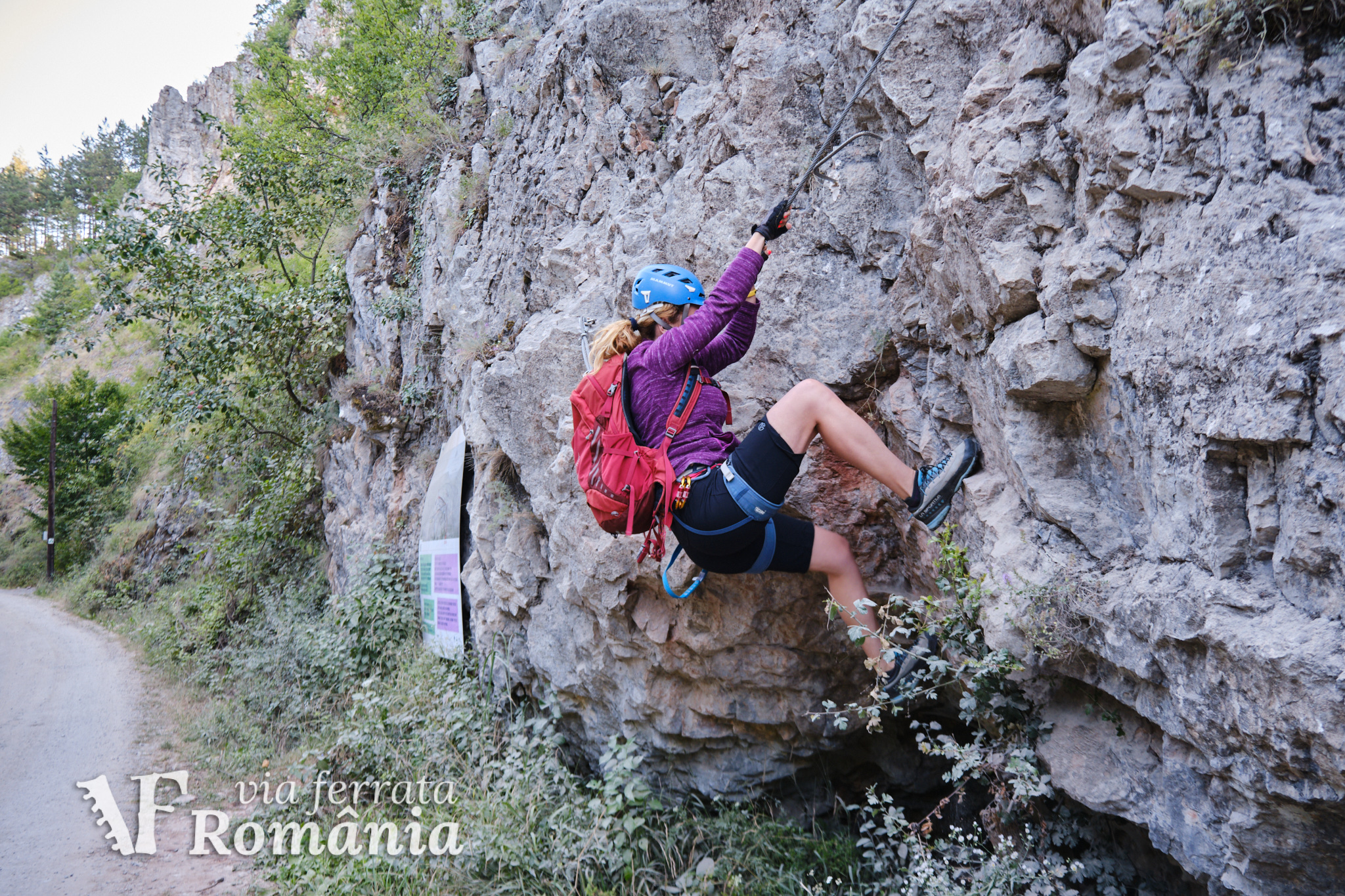
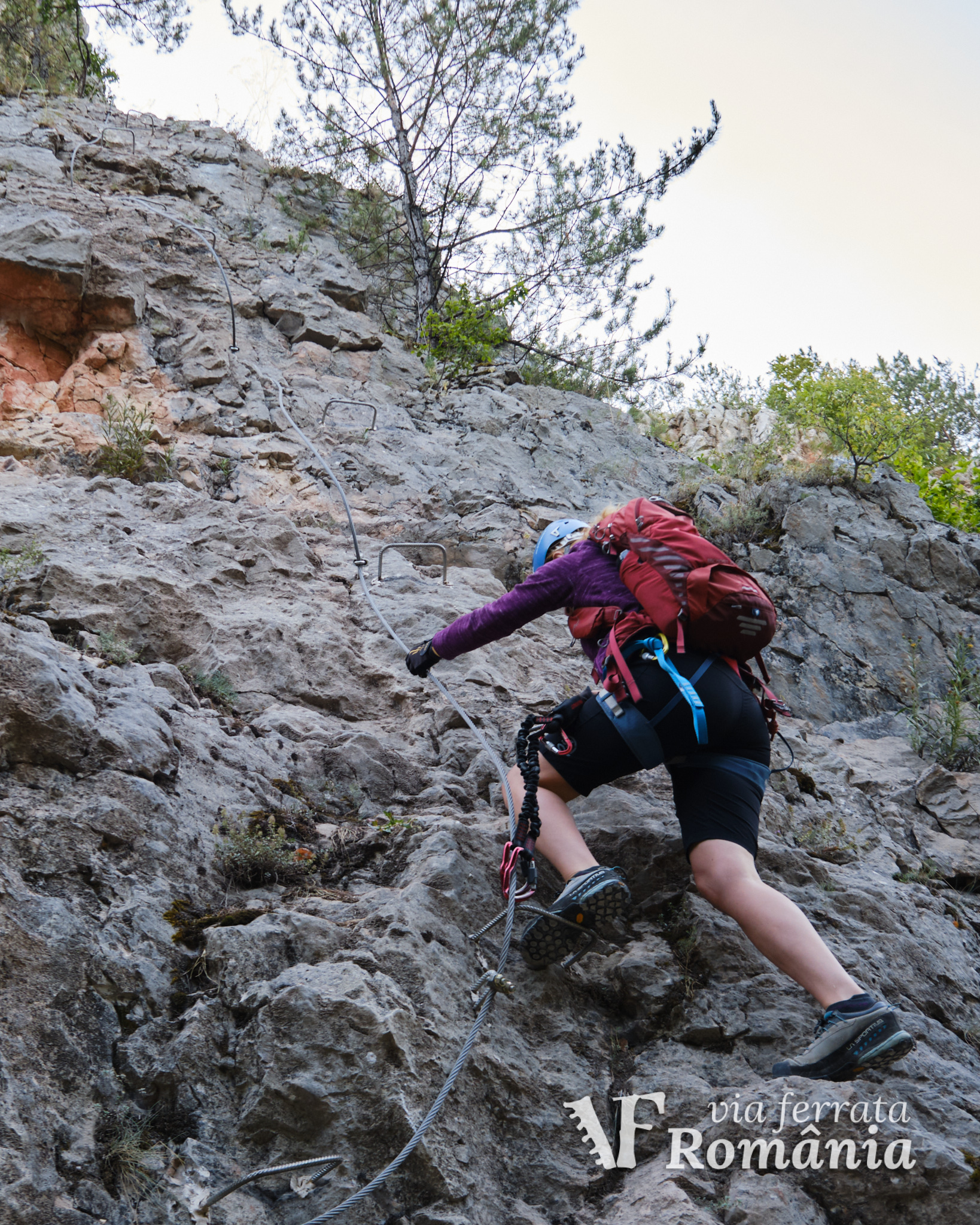
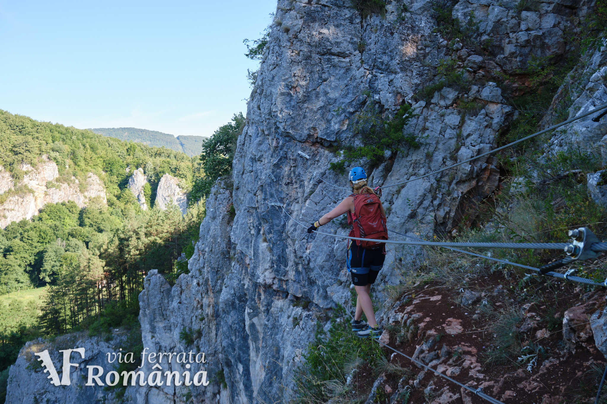
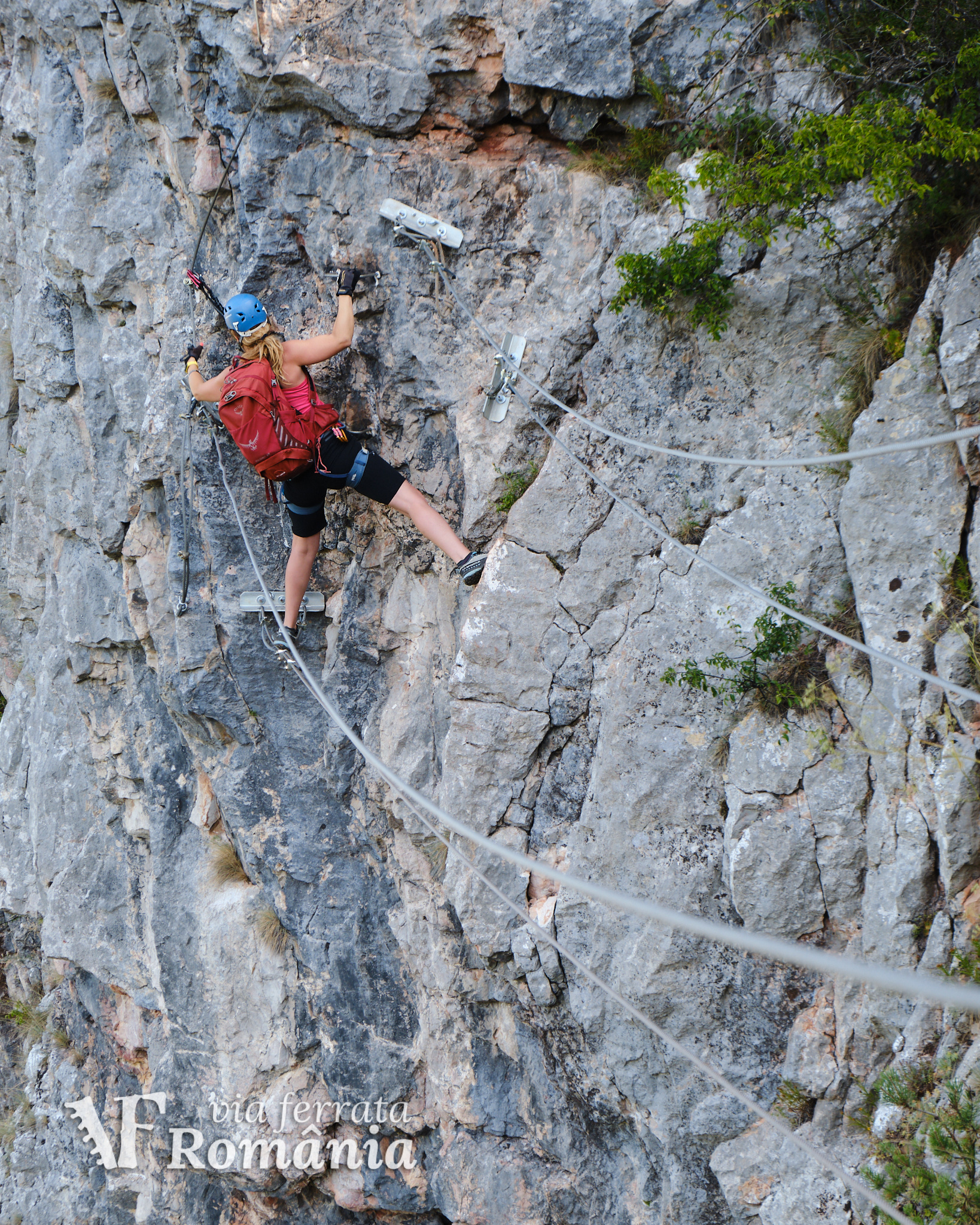
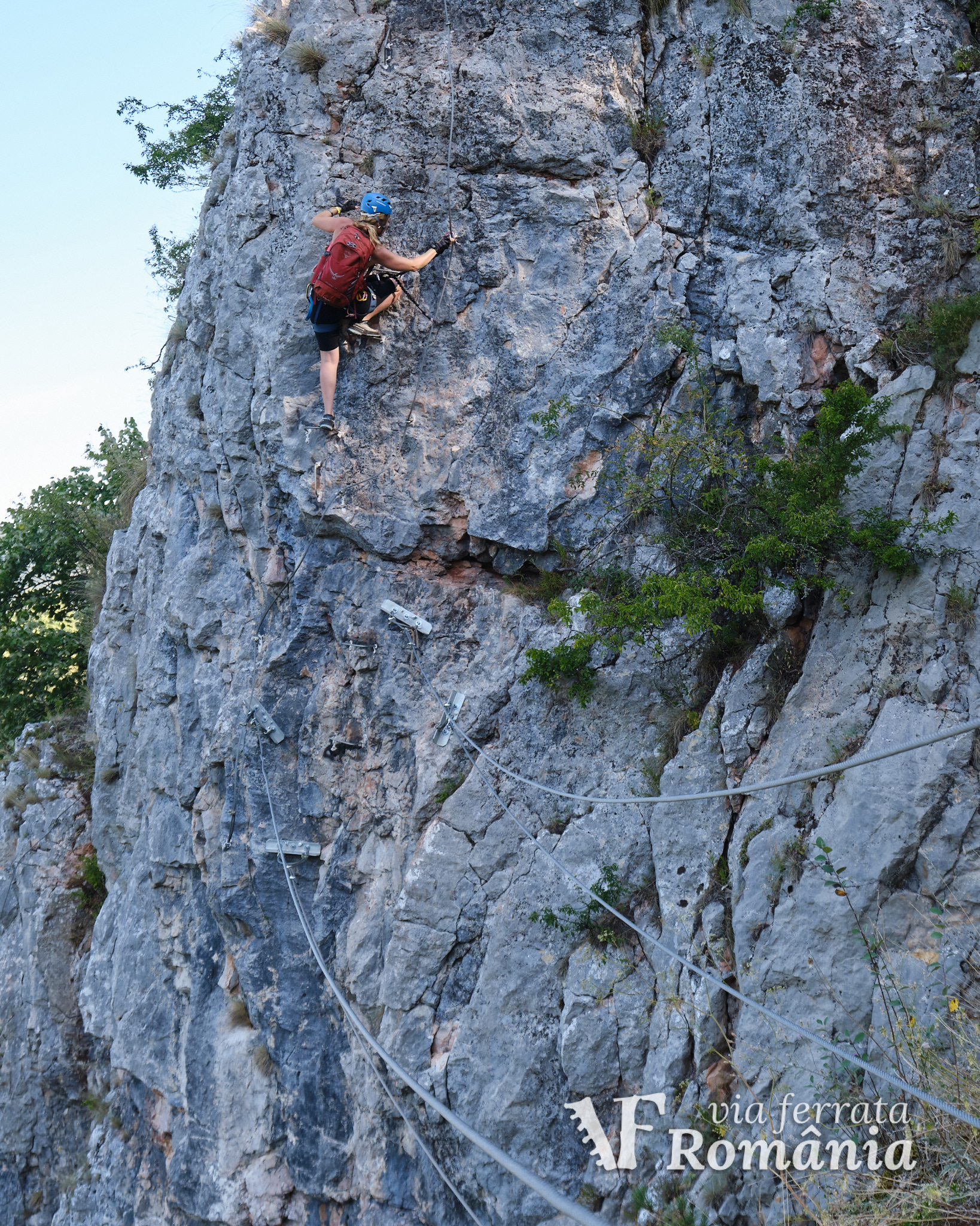
According to CASSIO Montana, the route starts with a slight overhang with no cable, it contains several exposed and technical sections, with many natural holds and very few artificial steps. There is also a long traverse and, of course, the Indian bridge.
The route requires advanced via ferrata skills. The artificial steps are spaced apart and available only when absolutely needed (like overhanging sections or sections with no natural holds). Appropriate mountain footwear with proper soles is highly recommended.
Duration for the via ferrata route: 30min.
Prices: free. There used to be a fee until Autumn 2021.
The routes built by the CASSIO Montana club, a non profit organization, were based on donations and volunteers. In order to support development of future routes and maintenance of existing ones, you can make a small donation by contacting the mountain club.
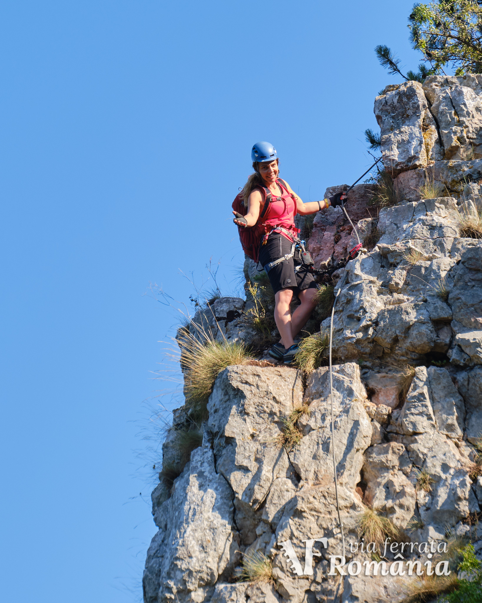
Mandatory gear: alpine helmet, alpine harness, via ferrata set. Optionally, gloves.
Return trail: You can return to the starting point in about 10 minutes, by following a trail through the woods.
Wheater: Meteoblue Suncuius / Viewweather Suncuius.
Emergency calls: 0-SALVAMONT, which is actually +40.725.826.668, or 112, the European all around emergency number. GPS coordinates for localization: 46°56’16.1″N 22°32’49.4″E, or 46.938167,22.546917.
Video:
https://www.facebook.com/watch/?v=2486940908264873&extid=B57DNpaZA339FewW
Photos:
Sources: