B/C ↔ 270m ↑ 70m ⏱ 1h vf / 1h40 total
View details in Romanian.
This via ferrata route was opened to the public on March 26 2021, in Padurea Craiului mountains, in Rosia, Bihor county. The construction began in September 2020 as a joint venture between public and private organizations in the area.
Summary:
- Length 270m
- Vertical climb 70m
- Difficulty B/C
- GPS access / Parking 46°49’17.9″N 22°24’05.9″E or 46.821639,22.401639 (geo)
- GPS Start Via Ferrata 46°50’00.9″N 22°23’45.4″E or 46.833592,22.395941 (geo)
- Access hiking duration: 30 min
- Via ferrata duration: 40 min
- Return hiking duration: 30 min
- Total time: 1h40
- Children can go on this route only supervised and accompanied by an experienced adult
- Best time: April – October, except for when it’s rainy and the rocks become slippery
Access: The approach starts in Ponita village, Rosia, Bihor county. There is a via ferrata parking place next to Poienita hut (46°49’17.9″N 22°24’05.9″E or 46.821639,22.401639), which is more of a general store in the village.
From here you follow the main village road up, which first crosses a bridge on the left. At 46°49’37.9″N 22°23’46.7″E (46.827194,22.396306) there’s a tourist sign pointing to the right – it’s the beginning of the hiking trail. Hike for about 700m more and you reach the start of the via ferrata.
Length of via ferrata route: 270m. Vertical climb: 70m.
Difficulty: B/C (medium). Grades are from A (very easy) to E (extreme).
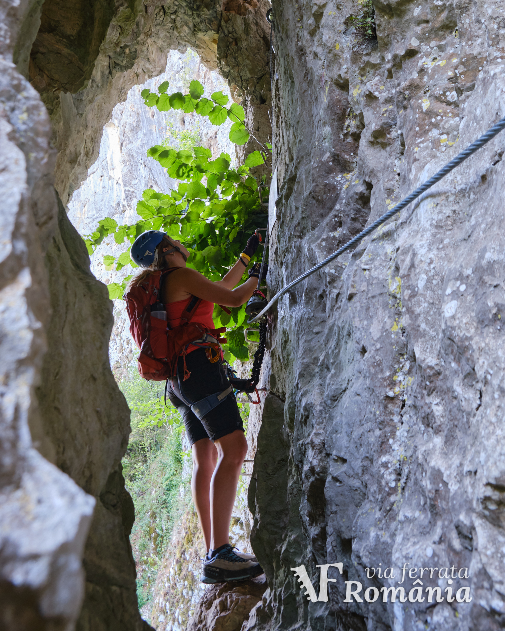
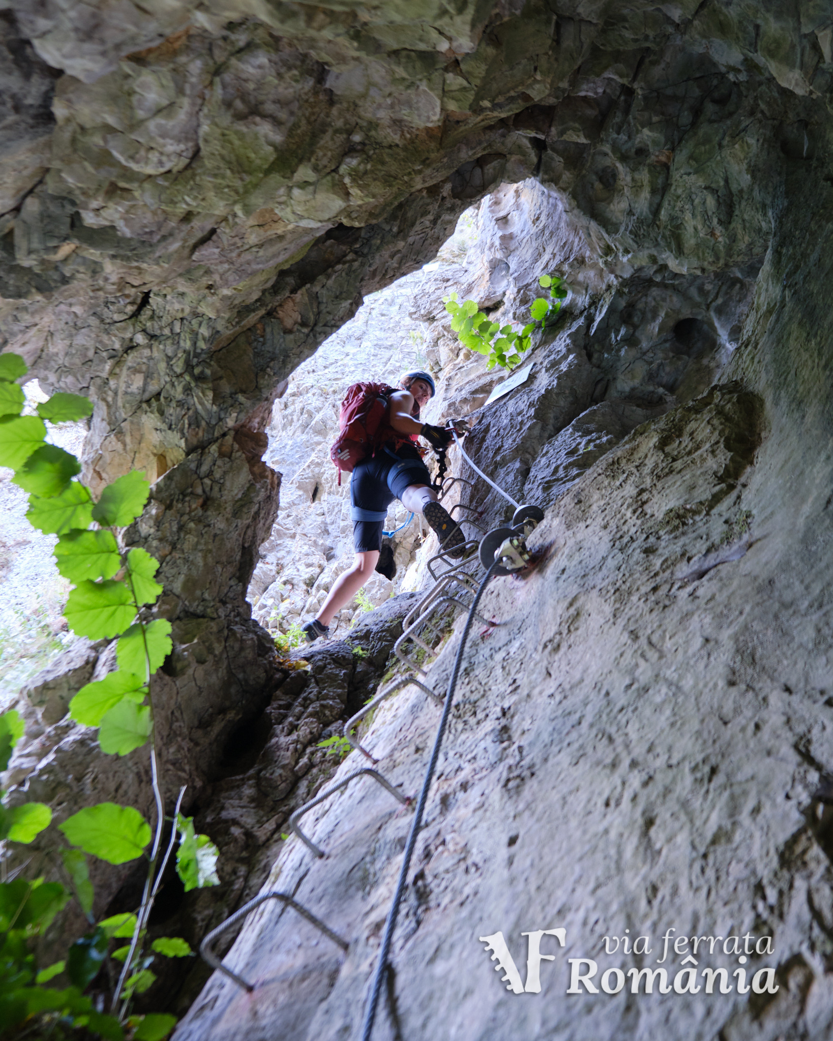
The route is 270m long and 70m high, with two start options. The harder start is the one on the left as you arrive from the trail. It begins with a cave and then crosses a 33m long bridge (the only B/C section) at 35m above the valley. After the bridge, the route connects with the other start option, which is B all the way, and both go up the final vertical segments.
Duration for the via ferrata route: approximately 40 minutes.
Prices: free.
Mandatory gear: alpine helmet, alpine harness, via ferrata set. Optionally, gloves.
Return trail: Follow the forest trail marked with a red dot for about 15 minutes, back to Ponita village and the starting point.
Wheater: Meteoblue comuna Rosia / Viewweather comuna Rosia.
Emergency calls: 0-SALVAMONT, which is actually +40.725.826.668, or 112, the European all around emergency number. GPS coordinates for localization: 46°50’00.9″N 22°23’45.4″E.
Video:
Photos:


Sources:
- We climbed this route.
- Talks with Salvamont Bihor, the local mountain rescue unit.